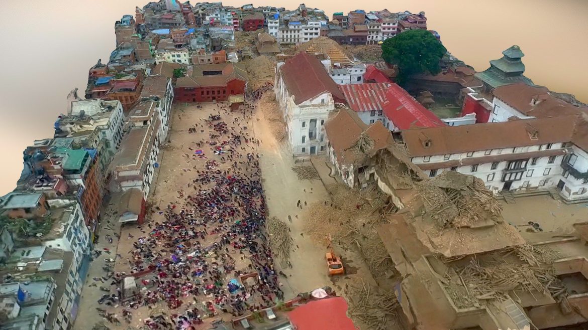
Nepal: after the powerful earthquake of April 25, drones responded quickly to photograph Kathmandu Durbar Square neighborhood and realized the first aerial images of the disaster.After selecting photographic productions of quality, three-dimensional modeling of Durbar Square area was undertaken by Drones Imaging. The result allows to assess accurately the damages on Kathmandu cultural heritage: some temples are invaded by mountains of rubble, bricks and beams. Others are destroyed. Now this 3D modeling can be used as a working basis for archaeologists and local authorities.Shooting by Kishor Rana Data processing by dronesimaging.com and Agisoft Metashape https://www.dronesimaging.com/agisoft-metashape/
Extended Use License
has been added to your cart!
have been added to your cart!
Your Recently Viewed Downloads
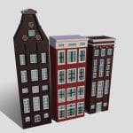 Low Poly Dutch City Buildings
 You must log in and be a buyer of this download to submit a review.
| ABOUT THE SELLER |
|
| SELLER-USER-NAME | Drones Imaging |
| 3D Model formats | FBX, OBJ, BLENDER, TEXTURES, Materials |
| 3D Model details | VR / AR / Low-poly, Textures, Materials, UV Mapping, Scale transformations |
| Triangles | 580.8k |
| Vertices | 291.8k |
| Category | News & Politics |
| Tags | 3d, 3dscans, cultural-heritage, drones, drones-imaging, earthquake, imaging, kathmandu, nepal, photogrammetry |