Newyork City Map 3d Model
Newyork City Map 3d Model – Discover Unparalleled Urban Detail
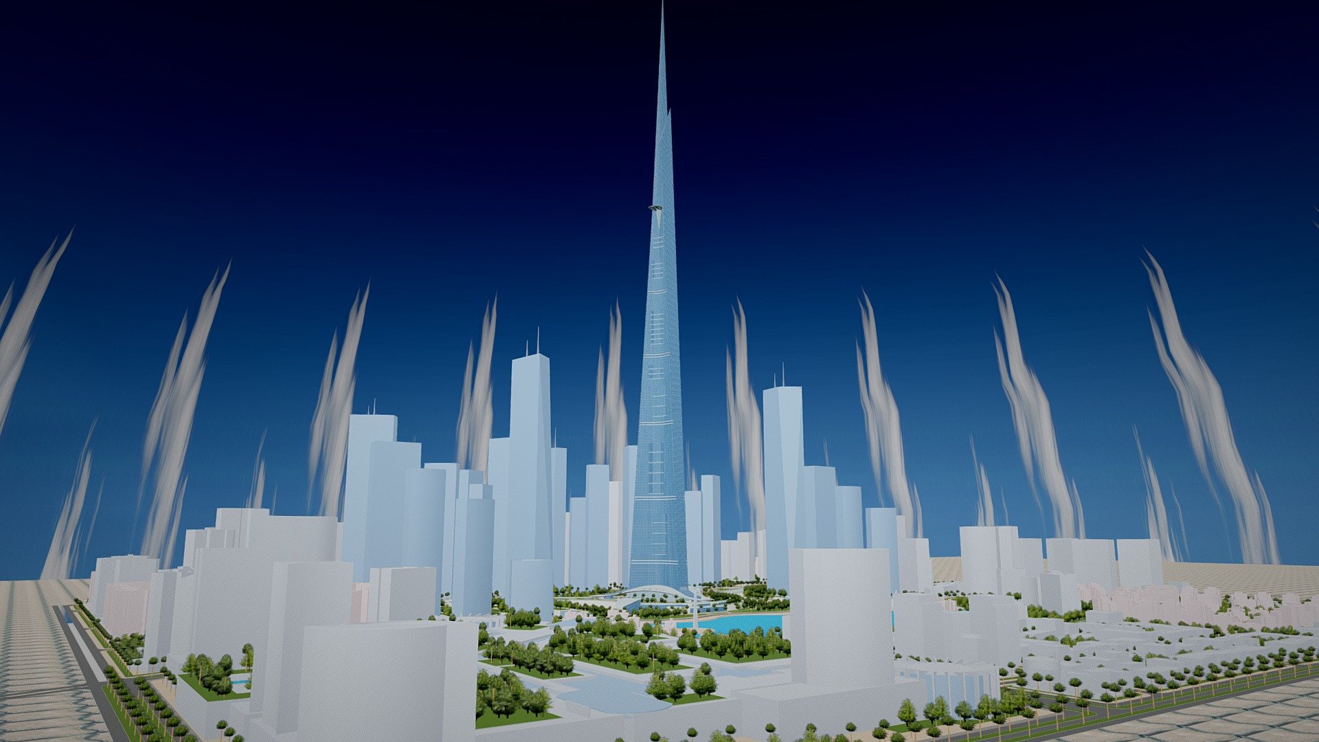
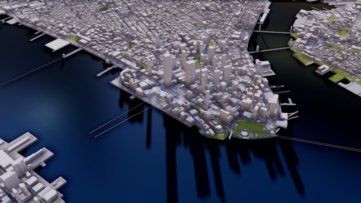
This meticulously crafted 3D urban environment immediately transports viewers into the heart of Manhattan, rendering its iconic street grid and intricate architectural landscape with striking fidelity derived from comprehensive GIS data. Expansive coverage of Manhattan and its surroundings defines this exceptional model. Stretching across a vast 9km x 7km area, it captures the sprawling complexity of one of the world’s most dynamic urban centers. Users gain a comprehensive perspective, from the intricate building footprints to the broad strokes of the island’s geography, ensuring a rich visual experience for any project.
Every block and structure within this digital representation speaks to a commitment to accuracy. The model provides an immersive canvas for architects, urban planners, and visual artists alike, offering a detailed foundation for everything from conceptual design to high-fidelity renderings. This extensive scale allows for both macro-level cityscapes and micro-level street explorations.
Newyork City Map 3d Model – Precision Engineering from Real-World Data
Sourced directly from 2020 Geographic Information System (GIS) data, the model guarantees a high degree of authenticity. This methodology ensures that geographical features, building heights, and land use patterns reflect real-world conditions with remarkable precision. Artists and developers benefit from a dataset that prioritizes factual representation, eliminating guesswork and enhancing realism.
Leveraging GIS data for 3D model generation provides an invaluable resource for professional applications. This intelligent approach transforms raw spatial information into a visually coherent and technically sound asset. The resulting geometry accurately delineates the urban fabric, making it an indispensable tool for simulations, analyses, and detailed visualizations.
Seamless Integration for Creative Projects
Designed for versatility, this digital New York map integrates effortlessly into various 3D software environments. Its clean topology and optimized structure facilitate smooth workflows for rendering, visualization, and interactive experiences. Whether you are developing a game, producing a film, or crafting an architectural visualization, this model provides a robust starting point.
The model’s inherent structure supports extensive customization and scalability. Users can easily adapt it to specific project requirements, adding further detail or modifying existing elements without compromising integrity. This flexibility makes it a prime asset for professionals seeking a reliable and adaptable urban dataset.
- Accurate building footprints and volumes reflecting Manhattan’s architecture.
- Extensive coverage spanning a 9km x 7km area, encompassing key districts.
- Clean, optimized mesh geometry for efficient rendering and performance.
- Derived from up-to-date 2020 GIS data for current urban representation.
Visualize the City That Never Sleeps
Unlock new creative possibilities with an authentic digital twin of New York. This comprehensive Newyork city map 3d model empowers designers to explore urban narratives, visualize future developments, or simply showcase the iconic grandeur of Manhattan. It offers an unprecedented opportunity to engage with the city’s unique character in a digital realm.
For other high-detail models, consider checking out our Mech Constructor: Turrets. Explore the intricate details of New York’s cityscape, from the bustling streets of Times Square to the serene pathways of Central Park, all within this finely detailed digital asset.
Enhance your projects with scientifically accurate geographical context. For more information on GIS data and its applications in urban modeling, visit the U.S. Geological Survey (USGS) GIS page. This resource provides a foundation for understanding the real-world data underpinning such sophisticated 3D environments.
Seller Original Description
Detailed 3d model map of Manhattan and soroundings Created from GIS data 2020. Map covers 9km x 7km.
Extended Use License
has been added to your cart!
have been added to your cart!
You must log in and be a buyer of this download to submit a review.
| ABOUT THE SELLER |
 |
| SELLER-USER-NAME | Giimann |
| 3D Model formats | FBX, OBJ, BLENDER, TEXTURES, Materials |
| 3D Model details | VR / AR / Low-poly, Textures, Materials, UV Mapping, Scale transformations |
| Triangles | 1.8M |
| Vertices | 1.2M |
| Category | Architecture |
| Tags | 3D City, 3d-map, architectural-visualization, city, City Map, cityscape, gis, GIS Data, manhattan, map, newyork, Newyork city map 3d model, nyc, skyline, skyscrapers, terrain, Urban Model |